Introduction
The stretch where the South Yuba River is crossed by Route 49 is a popular area for hikers and advanced river activities. The river is more treacherous here than in other areas of the park and must be treated with great respect, especially during spring runoff. For expert kayakers, Jonathan Blum's report of a spring 2006 trip from here to Bridgeport concludes that, "The South Fork of the Yuba is the most awesome river I have ever been on. Photos and descriptions in this report of his adventure show how dangerous the river is for most of its length.
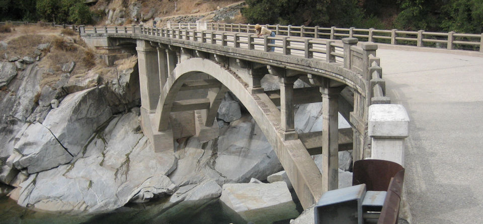
Old Route 49 Bridge
River activities center near the old Route 49 bridge, just upriver from the modern bridge.
Old Bridge/Modern Bridge
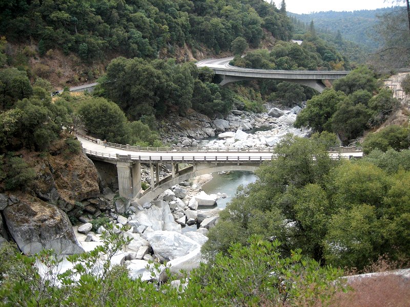
The relationship between the old bridge (foreground) and modern bridge seen from Hoyt Trail.
Highway 49 approaching the bridges when driving from Nevada City is on the left (taken October 1, 2006).
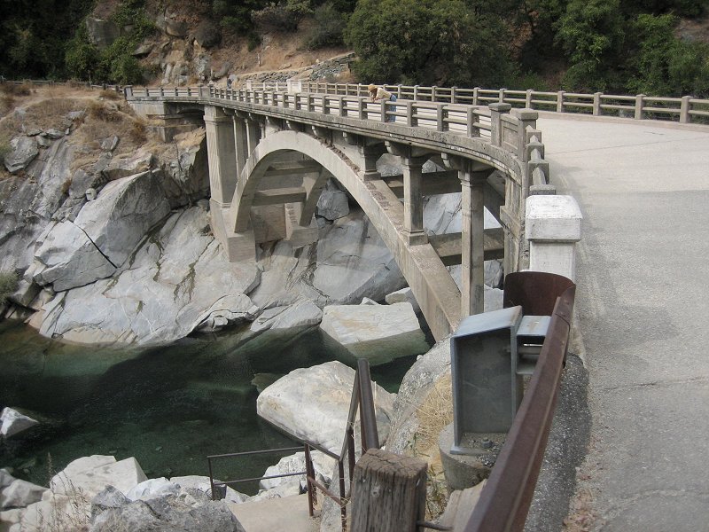
Opposite View
View in opposite direction of old bridge from modern bridge, in early Fall when swimming hole is calm.
The Hoyt trail, from which the above picture was taken, begins at the left far side of the bridge as seen here.
(Photo also provided to California State Parks for their brochure on the park.)
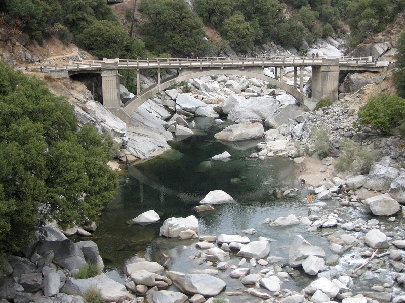
Stairs Leading to Swimming Hole
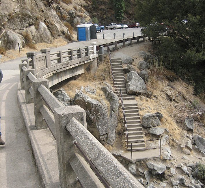
Stairs leading from parking lot down to swimming hole pictured above (taken October 1, 2006).
Final scene of Hallmark's The Christmas Card was shot at the base of these stairs earlier that year.
Deep Pools
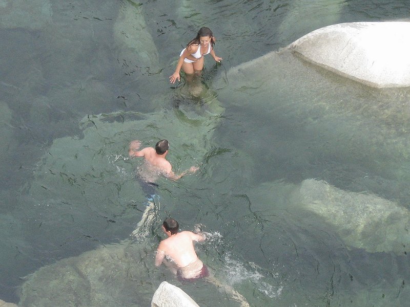
Swimmers enjoy deep pools on upriver side of old Hwy 49 bridge, on the October day.
Treacherous Rapids
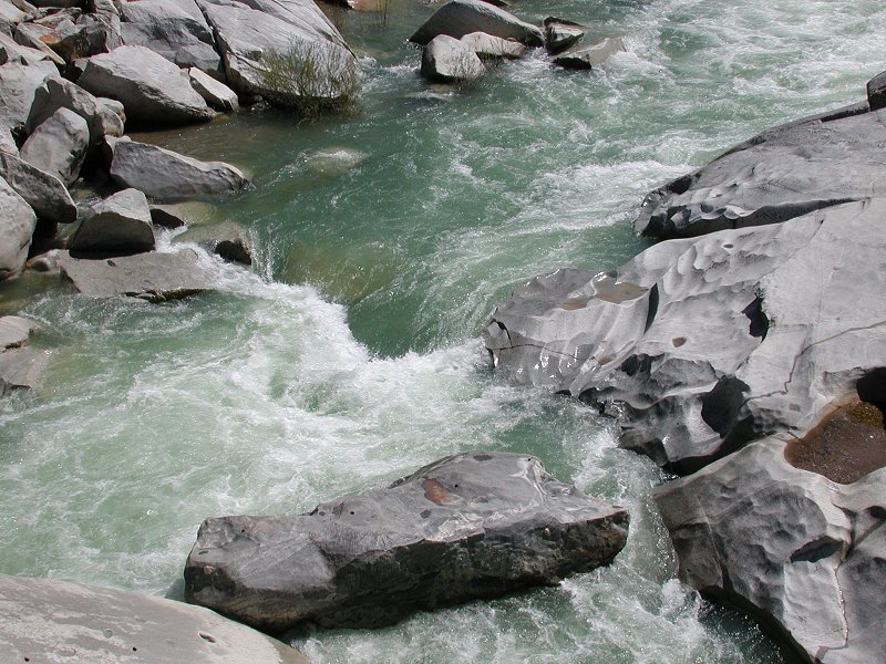
Treacherous rapids near same spot during spring runoff -- stay out of the water in this season!
Kayaking
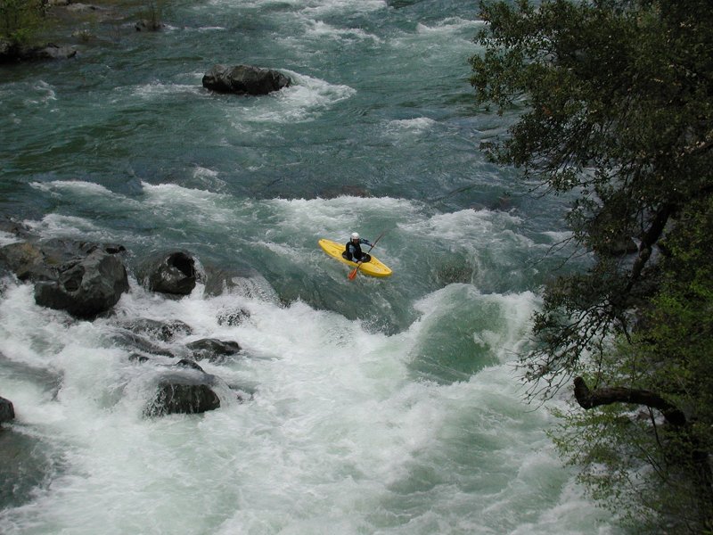
An experienced kayaker enters the rapids leading to the rocks seen above.
Several others wait in a relatively quiet pool (not shown) to follow him.
See Whitewater Kayaking - BRT Insights for more.
(Photo also provided to California State Parks for their brochure on the park.)